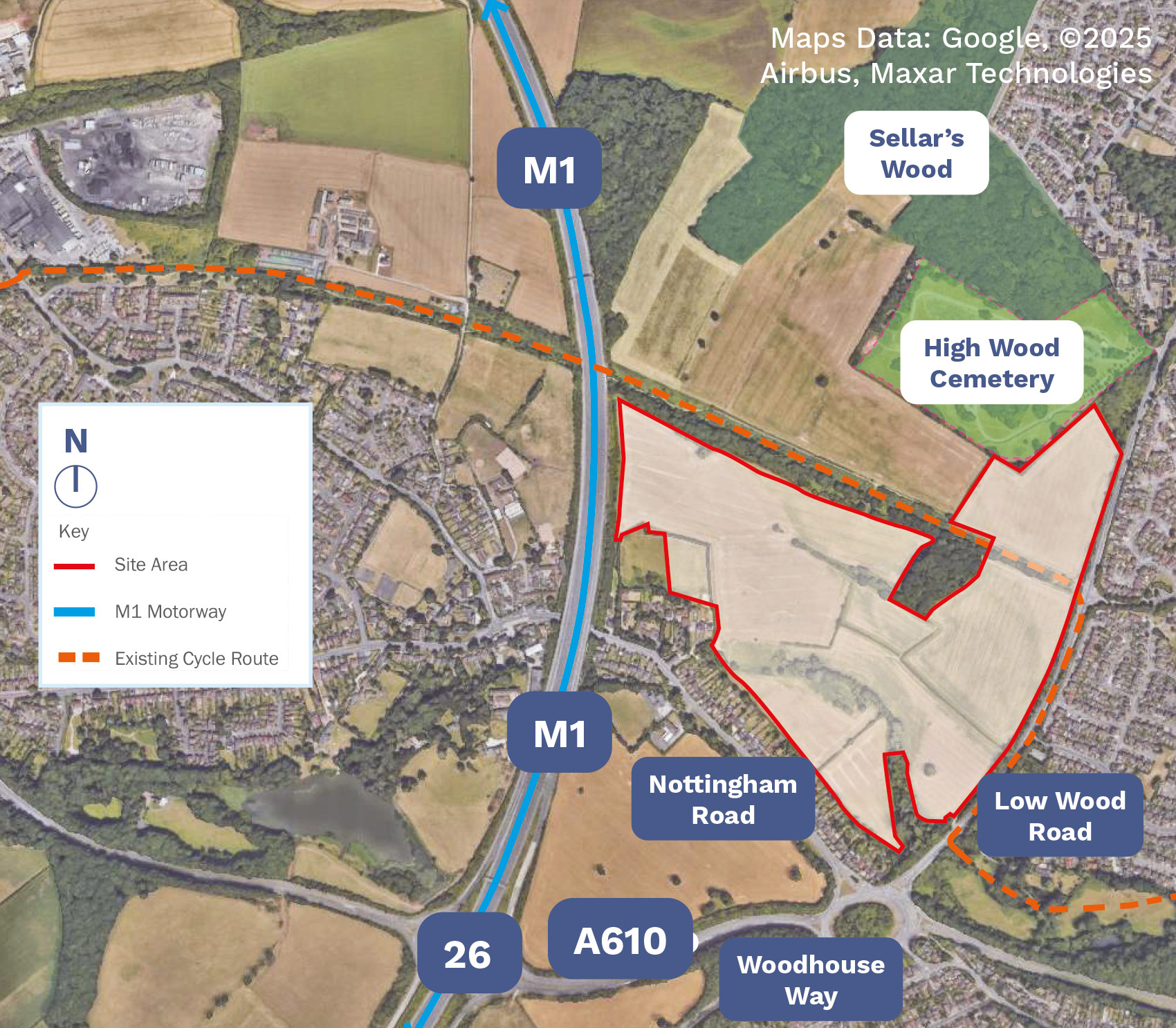
The site is approximately 40.22 hectares and is located within the Green Belt. It is currently agricultural land lying either side of the former Great Northern Railway line, which is a cycle route and pedestrian path. The site would be accessed via a new junction on Low Wood Road (A6002).
A number of Public Rights of Ways (PROWs) adjoin and cross the site. These will be retained and diverted if required as part of the development. They will also be upgraded. A new footpath will also be introduced to access an area of open space in the south of the site and provide a looped route for walkers.
While the site is reasonably level, some earthworks will be required to create development platforms, embankments, landscape buffers and Sustainable Urban Drainage (SuDS) ponds.